News ·
The GPS tech helping banana farmers protect the Reef
A new tool that helps banana farmers track the growth of their crops is reducing the need for fertilisers and preventing harmful chemicals from running off the land and out to the Great Barrier Reef.
Farming is one of the biggest contributors to poor water quality on the Reef, which threatens corals and other marine life, but precision agriculture tools are helping the industry reduce its environmental footprint.
Our partner, Farmacist, developed a prototype banana yield mapping system that collects data about banana growth rates and helps farmers identify where they need fertilisers most – and where they don’t.
How it works
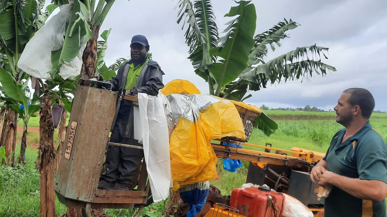
Farmers put bags around banana bunches when they first form on the tree to protect them from damage. A grower with the banana yield mapping system can place a tag with a unique ID number inside the bag. The system locates the tag via GPS and records the time and date.
When the banana bunches are harvested and brought to the packing shed, a tag reader generates a report for each one with the time and date the bunch was bagged and its weight when packed.
This data is incredibly useful for farmers – it can be used to map their yield, manage their workforce and plan their harvesting.
Most importantly for the Reef, it also allows farmers to design what’s called a nutrient management plan, so they can identify the trees with slower growth rates and only apply fertiliser to those that need it. This prevents overapplying and polluting local waterways with an excess of nutrients and other pollutants.
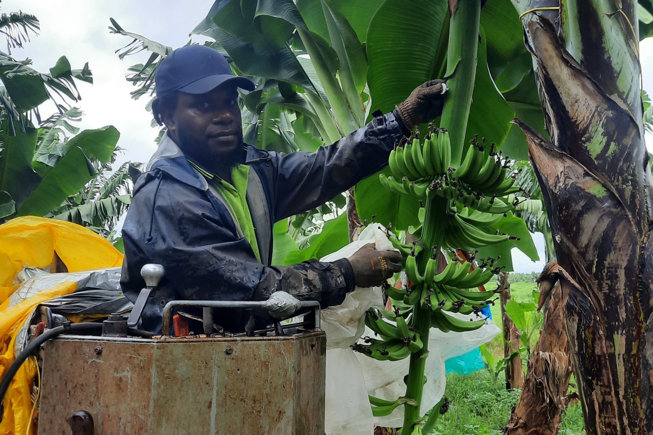
A grower fits a GPS tag to a banana bunch. Credit: Farmacist
Why is fertiliser harmful to the Reef?
Dissolved in-organic nitrogen (DIN) in fertilisers is used to boost plant growth. While nutrients like this might sound beneficial, they can disrupt the delicate balance on the Reef.
When rain washes nutrients off the land, down waterways and out onto the Reef, they increase the growth of single-celled plants called phytoplankton. This causes algal blooms to occur, which blocks sunlight and can reduce the amount of oxygen available to native fish species.
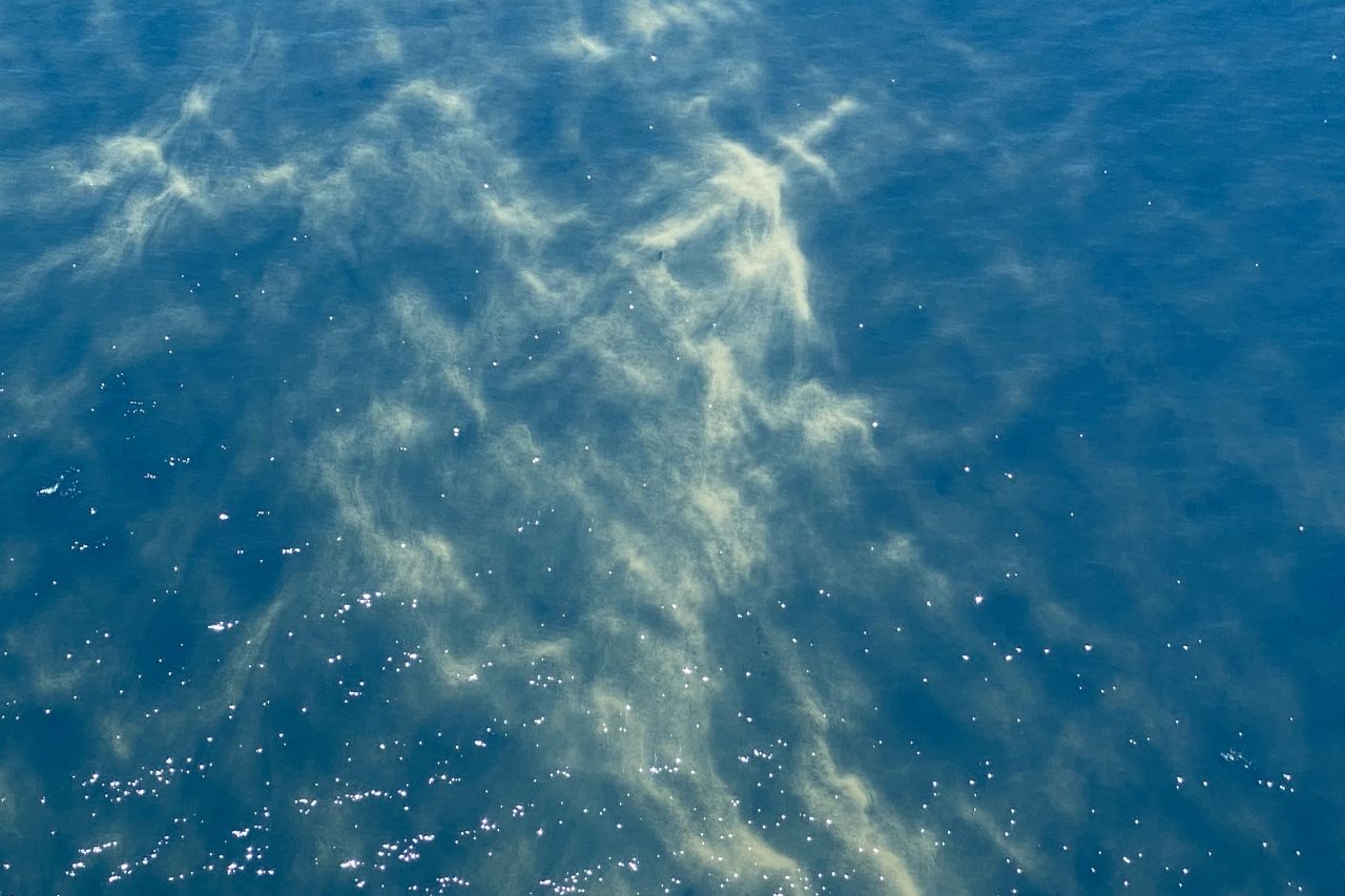
An algal bloom on the Great Barrier Reef.
What's next?
We've granted Farmacist additional funding from our Water Quality Innovation fund to advance a fourth prototype for the system.
Farmacist project manager Will Higham says: “This next phase is about rolling the new system out at scale across two commercial farms.
“We’re going to focus on how to make the best use of the data the system is producing to implement a precision agriculture program that’s good for farmers and good for the environment.”
Farmacist is planning to make the banana yield mapping system commercially available by 2024.


